Earthquake Near Me
Tap one button and instantly see the nearest recent earthquake — magnitude, distance, and how long ago — plus a list of other nearby quakes. Works even if you don't grant precise GPS access.
How it works
- Tap "Use my current location" — if you grant GPS access you get a precise result; if not, it automatically estimates your area from your network instead, no permission prompt required
- The nearest recent earthquake appears as the headline — magnitude, distance, and relative time
- Other recent nearby earthquakes appear below, sorted by distance
Frequently asked questions
Is my location sent to your servers?
No — your coordinates are used only to call the USGS earthquake API directly from your browser. This site's servers never see them.
What if I don't grant precise GPS access?
The tool automatically estimates your area from your network connection instead (city-level accuracy, no permission prompt), clearly labeled as approximate. You can also enter coordinates manually.
Where does the earthquake data come from?
The USGS (U.S. Geological Survey) Earthquake Hazards Program's live GeoJSON feed — the same official, free, real-time source used by seismologists.
Does this include things like quarry blasts or mining collapses?
No — the tool requests only true earthquakes from USGS, filtering out non-earthquake seismic events at the source.
How often is the data updated?
USGS updates its feed continuously; each time you load or refresh this page, you get the current live data — nothing is cached or stored.
What's the difference between the magnitude and the intensity number?
Magnitude (the "M" number, e.g. M5.8) measures the total energy the earthquake released — it's a single fixed value, the same everywhere. Intensity (labeled "Intensity") estimates how strongly it was actually felt at that specific spot, based on USGS's ShakeMap sensor data or citizen "Did You Feel It?" reports. Not every earthquake has an intensity estimate, so it's only shown when USGS provides one.
Related tools


From the blog
Update history
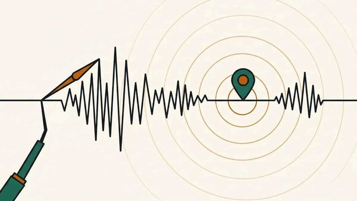
- 2026-08-30 Added: a cover image (seismograph waveform with a map-pin epicenter and shockwave rings) — used as the card thumbnail, social share image, and blog title image.
- 2026-08-30 Improved: on the map, earthquakes with a known intensity value now show that number as a small always-visible label right below the marker (matching the popup's font size) instead of only inside the click-to-open popup.
- 2026-08-30 Improved: dragging the map (mouse or touch) now re-searches for earthquakes around wherever you stop, updating the markers and a status label — no need to close the map and re-enter a location just to explore a different area. Also added a numeric intensity value (felt-shaking estimate, distinct from magnitude) to the headline, the list, and map popups whenever USGS provides one.
- 2026-08-30 Added: a "View on map" button below the earthquake list opens a dialog filling 95% of the screen with an interactive map (Leaflet + OpenStreetMap, free, no API key) — your location and every listed earthquake are plotted as markers, color-coded by magnitude, with popups showing details on tap.
- 2026-08-30 Launched: one location permission grant finds the nearest recent earthquake (magnitude, distance, time) plus a list of recent nearby quakes. Data from USGS, called directly from the browser (no server proxy needed).